This article has been archived
TIN surfaces - Unequal Scaling (ZZTIN)

Civil Tools and how to manipulate a TIN surface using LISP
If you're using BricsCAD V21 Professional (or higher levels), you may or may not be aware that it now includes a number of Civil tools. If you didn't know this, read our recent post on Civil Tools first. You can read it here.
In BricsCAD V21, the Civil tools provide you with the capability to create a TIN surface from various sources, and In BricsCAD V22, this has been extended to allow you to create a TIN surface from a point cloud.
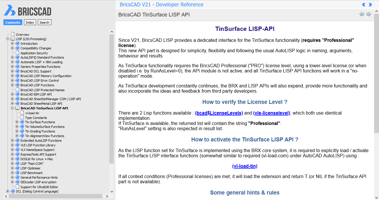
Adding additional Civil commands to BricsCAD isn't all that Bricsys has done. For LISP users, they have also provided a development API for working with Tin Surfaces. We'll explore this functionality in this post to give you an idea of what is possible.

In some cases where the terrain being analysed is quite flat or has quite subtle changes in level across it, it can be useful to exaggerate the elevations (Z values) of the TIN to better appreciate how the elevation does change.
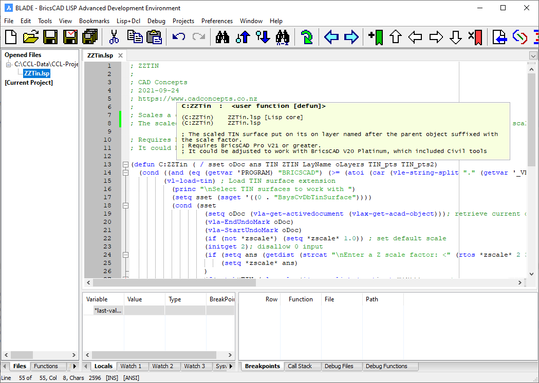
A search through the Tin surface API documentation shows that we can use a function tin:getpoints to retrieve all the points from a TIN surface, which we can use in a call to tin:changePointElevations to change the elevation values of a TIN surfaces. So two simple function calls can do all the heavy lifting for us!
Armed with this information, we can jump into BricsCAD BLADE and create a LISP tool that will allow us to scale a TIN surfaces elevation by a given factor, resulting in a new command we've called ZZTIN. And we've made it available to for you here in our Resources section.

How to load
You can load ZZTIN by simply dragging and dropping the file onto an existing drawing window in BricsCAD. If you find it useful, then you can use APPLOAD to get BricsCAD to load it automatically.
Using ZZTIN
To use ZZTIN, enter the command and select the TIN surfaces you want to work with. You will then be prompted for a scale factor to apply.
ZZTIN will take a copy of selected BricsCAD TIN Surfaces, then scale it by the given scale. Finally, the scaled TIN surface is put on its on layer named after the source TIN Layer and suffixed with the scale factor. This means your source TIN is left untouched, and the generated TIN is on a layer you can turn on/off.

Interested to know more or want to upgrade to BricsCAD V22, give us a call 0800 003 470 or email info@cadconcepts.co.nz
We're here to help!
Ready to Transform Your CAD Workflow?
Contact us today to discover how CAD Concept's first-rate support and expert training can elevate your design process.

